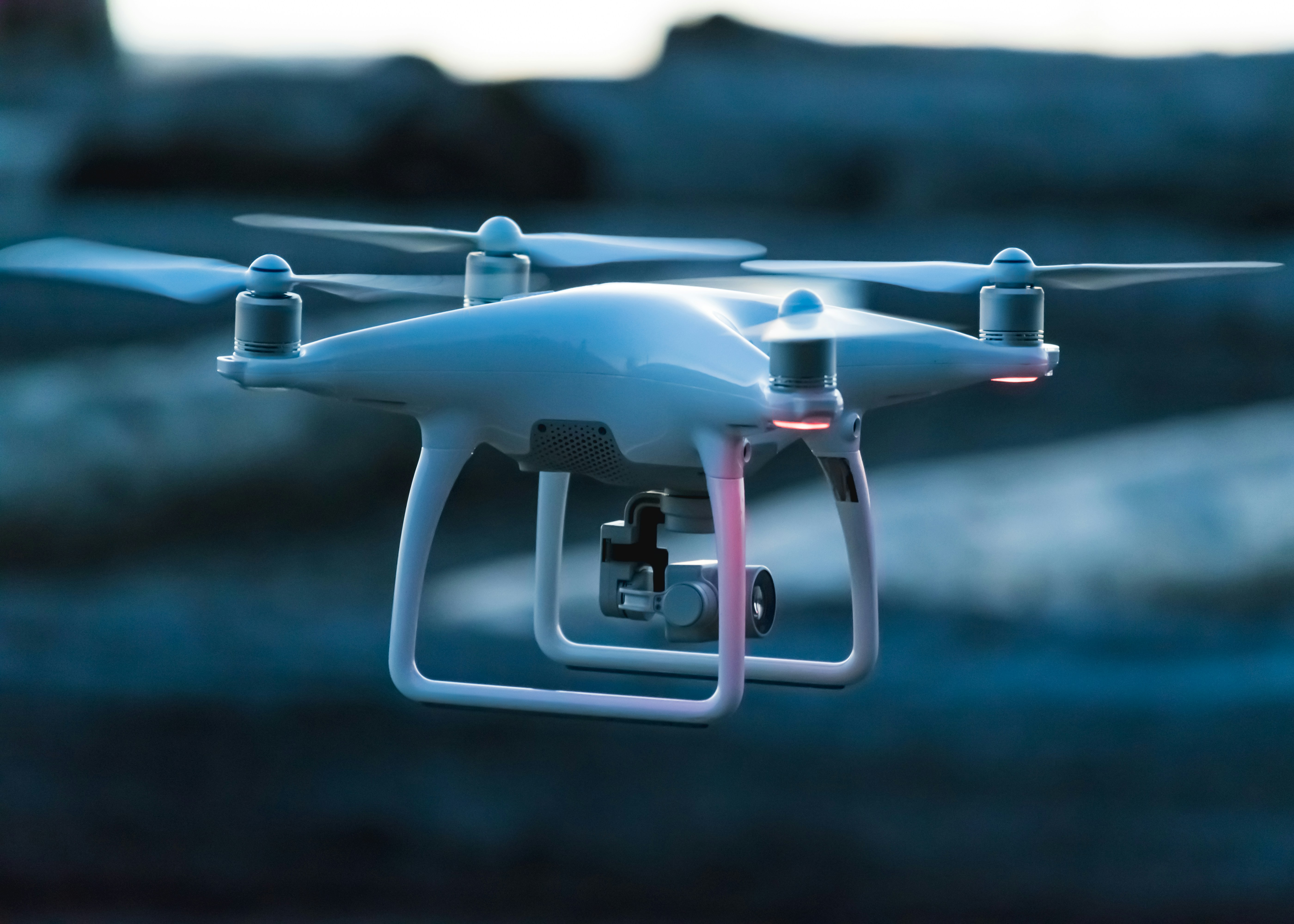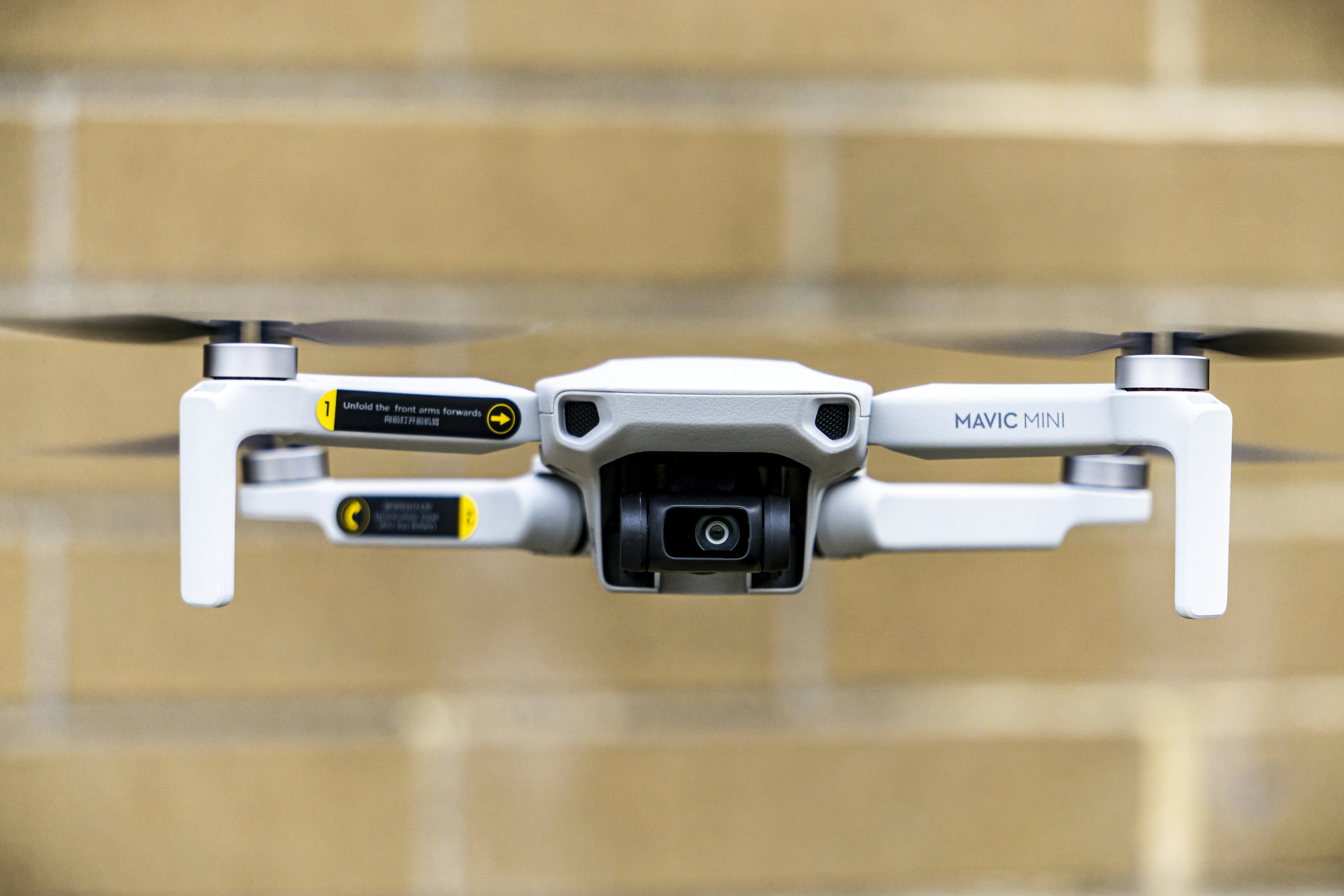
Drone Mapping System
Advanced Aerial Crop Monitoring and Mapping Solution
Precision Agriculture from Above
Our agricultural drone system combines high-resolution imaging with advanced mapping technology to provide detailed insights into crop health, growth patterns, and field conditions.
4K Imaging
High-resolution multispectral camera
3D Mapping
Detailed terrain modeling
Long Flight
45-minute flight time
AI Analysis
Real-time data processing

Drone Specifications
Flight Specifications
- • Flight Time: 45 minutes
- • Range: 7 km
- • Max Speed: 58 km/h
- • Wind Resistance: 38 km/h
Physical Specs
- • Weight: 2.5 kg
- • Wingspan: 1.2 m
- • IP54 Weather Protection
- • RTK Positioning
Key Benefits
Transform your crop monitoring with aerial precision
Efficient Coverage
Map up to 150 acres per flight
Cloud Processing
Instant access to processed data
Mobile Control
Operate via smartphone or tablet